 Hable con un agente al (888) 572-7520
  Enviar mensaje a un agente

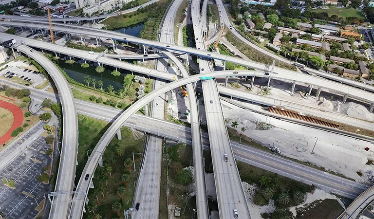

Florida has one of the largest and most diverse transportation networks in the United States. To manage its infrastructure, the Florida Department of Transportation (FDOT) operates through a decentralized structure that divides the state into seven districts, each led by a District Secretary.
For truck drivers and transportation companies, understanding this structure can be useful because each district includes different highways, bridges and connections to ports, airports, railroads and other major transportation hubs.
While FDOT districts are administrative divisions and do not determine which routes trucks must use, they provide a clearer picture of how Florida plans, builds, maintains and operates its transportation system.
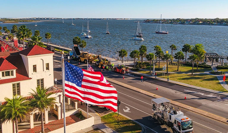
District 1: Southwest Florida
District 1 covers 12 counties in Southwest Florida: Charlotte, Collier, DeSoto, Glades, Hardee, Hendry, Highlands, Lee, Manatee, Okeechobee, Polk and Sarasota.
The district covers nearly 12,000 square miles and includes approximately 6,680.7 lane miles within the State Highway System and 957 bridges.
Its transportation infrastructure also includes five major rail lines, 21 aviation facilities, one deep-water port and an Intermodal Logistics Center.
For the trucking industry, this combination highlights the importance of intermodal connections across a region that covers a significant portion of Southwest Florida.
District 2: Northeast Florida
Northeast Florida represents another major part of FDOT’s transportation network. District 2 includes 18 counties, among them Duval, Nassau, Hamilton, St. Johns, Alachua and Columbia.
Its State Highway System includes approximately 8,497 lane miles and 1,331 bridges.
One of the most significant features for freight transportation is its supporting infrastructure. The district has eight major rail lines, three seaports and a spaceport, along with 16 aviation facilities.
Jacksonville is part of District 2, and FDOT also maintains a dedicated urban office in the city.
District 3: Florida Panhandle
District 3 manages 16 counties in Northwest Florida and covers approximately 11,300 square miles.
The district includes Escambia, Santa Rosa, Okaloosa, Walton, Bay and Leon counties, among others.
Its State Highway System consists of approximately 6,903 lane miles and 841 maintained bridges. The region also has five major rail lines and three deep-water ports.
The combination of highway, rail and port infrastructure makes the Florida Panhandle another important part of the transportation network connecting different regions of the state.
Districts 4 and 6: South Florida
Southeast Florida is divided between two FDOT districts.
District 4 includes Broward, Indian River, Martin, Palm Beach and St. Lucie counties. Its State Highway System has approximately 6,676 lane miles and 778 bridges, including 36 movable bridges.
The district also includes three deep-water ports, four rail lines and 92 aviation facilities.
Farther south, District 6 specifically covers Miami-Dade and Monroe counties.
Although geographically the smallest of FDOT’s seven districts, its infrastructure includes approximately 3,266.4 lane miles, 668 bridges, two major rail lines and two deep-water ports.
For trucking operations serving the southernmost part of Florida, knowing that Miami-Dade and Monroe make up their own FDOT district can make it easier to identify the agency responsible for transportation projects and infrastructure in the area.
District 5: Central Florida
District 5 covers nine counties: Brevard, Flagler, Lake, Marion, Orange, Osceola, Seminole, Sumter and Volusia.
The region is home to approximately 4.9 million people and has 8,952 lane miles and 1,203 bridges within the State Highway System.
It also includes five major rail lines, one deep-water port, two spaceports and 155 aviation facilities.
Orange County — home to Orlando — is part of District 5, making Central Florida another particularly important region within the state’s transportation system.
District 7: Tampa Bay
For truckers operating around Tampa, the district to know is District 7, which includes Citrus, Hernando, Hillsborough, Pasco and Pinellas counties.
According to FDOT, drivers travel more than 40.1 million miles every day within the district.
Its State Highway System includes approximately 4,936.7 lane miles and 800 bridges. The region also has two deep-water ports, two commercial airports and one major rail line.
District 7 covers much of the Tampa Bay area and is therefore responsible for many of the infrastructure projects, construction activities and traffic changes affecting transportation throughout the region.
Florida’s Turnpike Operates Differently
In addition to the seven districts, Florida has Florida’s Turnpike Enterprise, which operates a user-financed toll highway system.
According to FDOT, the system covers approximately 515 centerline miles and generates more than $1.3 billion in annual revenue.
Along the Turnpike Mainline, there are eight service plazas offering services such as fuel, food and traveler information.
Florida’s Turnpike Enterprise also operates SunPass. According to FDOT, its system processes more than 2.5 billion customer transactions annually and manages 50 million accounts.
For truck drivers traveling throughout Florida, this is an important distinction: the Turnpike has its own structure within the state transportation system and is directly associated with the operation of Florida’s toll highways.
Why Does This Matter for Trucking?
Florida’s seven FDOT districts help illustrate the complexity of transportation across the state. The network involves much more than highways. Each region includes a different combination of bridges, ports, railroads, airports and other transportation systems.
Each district also has its own administrative structure and Public Information Office, while Florida’s Turnpike Enterprise separately manages much of the state’s toll-road system.
For carriers and owner-operators, knowing which FDOT district covers a particular area can make it easier to find official information about construction projects, roadwork, infrastructure changes and other conditions that could affect their routes.
From Miami and South Florida to Tampa Bay, Central Florida, Jacksonville and the Panhandle, FDOT manages an extensive transportation network divided geographically to address the needs of each region.
For the trucking industry, understanding that organization provides another useful tool for planning routes, identifying the right official sources and staying informed about the infrastructure that moves millions of vehicles across Florida every day.
 Business hours: Monday to Friday from 8:00 AM to 5:00 PM. California time