 Hable con un agente al (888) 572-7520
  Enviar mensaje a un agente

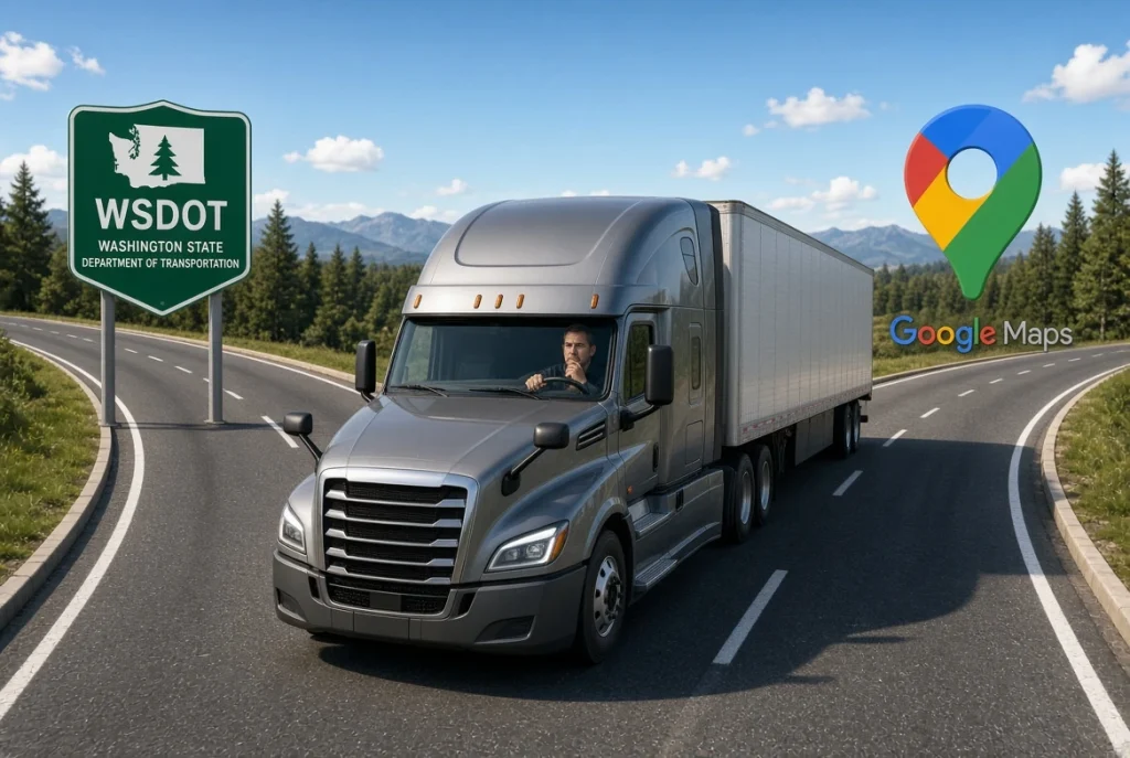

Which is better? WSDOT vs. Google Maps reignites the debate. Google Maps has no truck mode: it doesn’t calculate routes based on a vehicle’s height, weight, or axle limits, it doesn’t reliably flag low-clearance bridges, and it doesn’t show commercial load restrictions. It’s a tool built for passenger cars. WSDOT, on the other hand, offers a set of free official tools built specifically for freight transport: a bridge vertical clearance trip planner, a commercial vehicle restrictions map, mountain pass alerts, and a real-time map of truck parking spots on I-5. The practical takeaway is simple: use Google Maps for general orientation only, and always verify the final route with WSDOT’s tools.
Why Google Maps Isn’t Built for Trucks
Google itself has confirmed, through its own community forums, that it doesn’t offer a dedicated truck navigation mode, unlike the car, bike, walking, or transit options it does provide. According to specialized guide Trucker Guide, this means the app cannot calculate routes based on a commercial vehicle’s height, weight, or axle limits, and it also doesn’t offer reliable weigh station locations or consistent warnings about low-clearance bridges.
Another specialized truck routing source, Truck Driving Directions, agrees with that assessment: Google Maps can be used for general area research — checking warehouse access, verifying loading zones, or inspecting a customer’s entrance with Street View — but it isn’t designed for actual commercial routing, because it doesn’t account for truck-specific restrictions like bridge heights, weight limits, or hazardous materials regulations.
What Tools WSDOT Offers for Freight Transport
The Washington State Department of Transportation (WSDOT) maintains, in its official “Maps & tools for commercial vehicles” section, a set of free resources designed specifically for truckers:
- Bridge Vertical Clearance Trip Planner: lets you search bridge heights along a planned route — something Google Maps doesn’t reliably offer.
- Route & commercial vehicle restrictions map: shows current restrictions for oversize or overweight vehicles on state routes, bridges, and structures.
- List of restrictions for emergency vehicles on specific bridges, and tire chain requirements for vehicles over 10,000 pounds gross vehicle weight, under Washington Administrative Code (WAC) 204-24-050.
- Weigh station e-screening location map, so a driver knows in advance where the system can electronically scan the vehicle.
- I-5 truck parking tool: with a USDOT number, a trucker can check the estimated number of available parking spaces at I-5 rest areas, up to four hours in advance.
- Travel Center Map, WSDOT’s real-time map with traffic flow, travel alerts, cameras, weather conditions, mountain pass reports, rest areas, and commercial vehicle restrictions all in one view.
WSDOT itself is explicit about where the final responsibility lies: commercial vehicle drivers are responsible for verifying route restrictions, bridge clearance, and other requirements before driving, regardless of which app they used to plan the trip.
The Practical Recommendation for a Trucker of WSDOT vs. Google Maps
Neither tool fully replaces the other: Google Maps remains useful for what it does well — real-time traffic, locating a customer, street-level views of a loading point — while WSDOT’s tools specifically cover what Google Maps doesn’t: legal weight, height, and route restrictions that, if ignored, can lead to hitting a low bridge, an overweight fine, or a citation for driving on a road not authorized for heavy freight.
That’s why the safest practice for any trucker operating in Washington is to use Google Maps only as general reference for location and traffic, and always confirm the specific route — bridge heights, active restrictions, and parking availability — using WSDOT’s official tools before hitting the road.
Frequently Asked Questions
Does Google Maps calculate routes based on a truck’s height or weight? No. Google has confirmed it doesn’t offer a truck navigation mode and doesn’t calculate routes based on a vehicle’s height, weight, or axle limits.
Which WSDOT tool shows bridge heights along a route? The Bridge Vertical Clearance Trip Planner, available in WSDOT’s maps and tools section for commercial vehicles.
Does WSDOT have a tool to check truck parking availability on I-5? Yes. With a USDOT number, a trucker can check the estimated number of open spaces at I-5 rest areas, up to four hours in advance.
Who is responsible if a truck hits a low bridge after following Google Maps? According to WSDOT itself, the commercial driver is responsible for verifying route restrictions and bridge clearance before driving, regardless of which navigation app was used.
 Business hours: Monday to Friday from 8:00 AM to 5:00 PM. California time