

Texas Freight Loads: What Every Trucker Should Know Before Hauling Freight in Texas
Texas is home to some of the most important logistics hubs in the country, here’s what you need to know before hauling freight in this state.
Canada and the Mystery of the 350 Missing Trucks
Viral videos claim that 350 trucks in Canada mysteriously vanished, were abducted, or simply disappeared without a trace. But the truth is far more complex—and it involves an ongoing court case.

CVSA Initiative Empowers Drivers to Recognize and Report Human Trafficking
56 jurisdictions from Canada, Mexico, and the United States participated this year in the Human Trafficking Awareness Initiative by the CVSA.
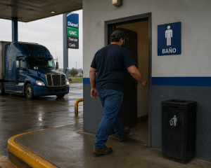
New Hampshire guarantees restroom access for truck drivers during deliveries and pickups
New Hampshire seeks to ensure restroom access for truck drivers while they perform their jobs.

How to Make an Argentine Asado to Celebrate Messi
As Lionel Messi turns 39 during the 2026 World Cup, we take a look at the secrets behind Argentina’s most beloved tradition: a great barbecue shared with friends, soccer, and long conversations around the fire

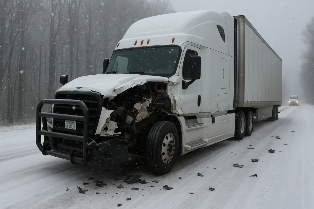
Why Summer is the Most Dangerous Season for Your Truck
During summer, extreme heat, increased traffic, road construction, and mechanical stress create a combination of risks for your truck and your load.