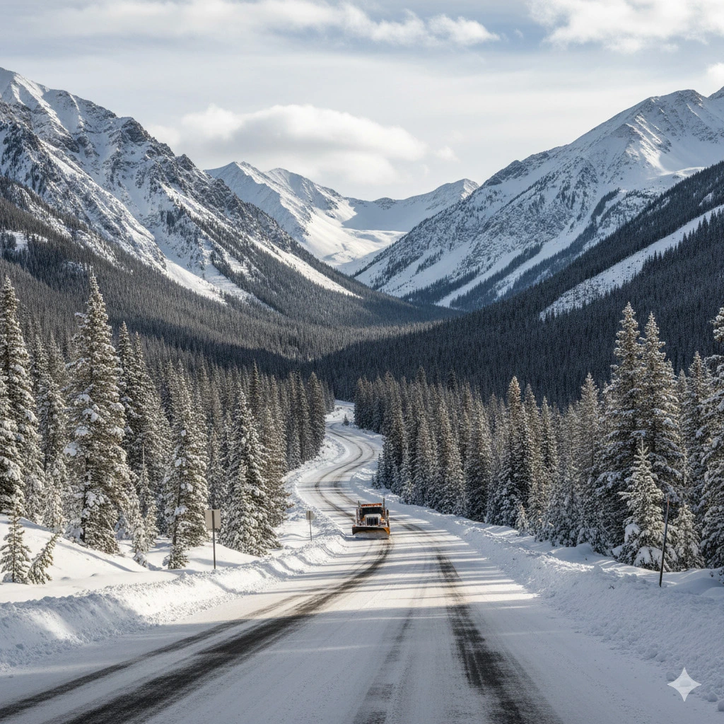
Rain and early snowfall are prompting a weather alert for U.S. highways this weekend, with heavy storms expected across the South and early-season snow developing over the Rockies and Northern Plains.
Rain and early snowfall will shape travel conditions across major U.S. freight corridors this weekend, as weather agencies and state transportation departments issue alerts for both commercial and private drivers. Forecasts indicate heavy rainfall and thunderstorms across the South and Mid-South, while early-season snow is expected in high-elevation areas of the West and Northern Plains. Together, these conditions may lead to slick pavement, reduced visibility, strong crosswinds, and temporary closures on mountain passes—all of which directly affect trucking schedules, delivery planning, and driver safety.
Meteorologists report a low-pressure system moving eastward from Texas toward the Mississippi Valley, bringing widespread showers, lightning, and gusty winds. At the same time, a colder air mass pushing down from Canada will promote snowfall across the Rockies and portions of the Upper Midwest, especially at higher elevations and exposed corridors. This combination of warm, moist air and advancing cold fronts is typical of seasonal transition periods, but this particular system arrives early enough to catch many drivers before winter readiness procedures are fully in place.

Heavy Rain in the South and Southeast
In Texas, Oklahoma, Arkansas, Mississippi, Alabama, and Georgia, rain is expected to persist from late Friday into Sunday. Freight-heavy interstate corridors such as I-20, I-40, I-55, and I-65 will likely experience standing water, pooling in low spots, and periods of reduced visibility. Overnight travel will be especially challenging, particularly in stretches with limited lighting or ongoing construction detours.
Transportation officials in Texas and Tennessee are advising drivers to avoid nighttime runs unless necessary, noting that radar signatures show scattered thunderstorms capable of producing brief white-out rain conditions. Lightning interference may also affect traffic signal systems and roadside communication signage—an issue that can be especially disruptive for carriers relying on real-time fleet monitoring.
Early Snowfall in the Rockies and Northern Plains
Meanwhile, the first early snowfall of the season is expected to impact Montana, Wyoming, Colorado, Idaho, and Utah. Snow accumulation may be modest at lower elevations but could rapidly increase in mountain passes, tunnel approaches, and exposed ridge corridors.
Key affected routes include:
I-90 between Butte and Missoula
I-80 from Cheyenne through Laramie toward Salt Lake City
I-70 approaching and passing through the Eisenhower Tunnel in Colorado
In these areas, drivers can expect ice formation on elevated bridges, blowing snow, and the possibility of temporary closures due to high winds or jackknifed or overturned vehicles. State transportation departments in Wyoming and Utah emphasize that commercial vehicle wind restrictions may be issued or adjusted with little warning, depending on real-time gust patterns.
Strong Crosswinds Across the Plains
In South Dakota, North Dakota, Nebraska, and Kansas, high winds present the primary hazard. Forecast models indicate gusts exceeding 45 mph (72 km/h) in open stretches, especially along I-29, I-80, and I-70. These conditions pose a particular risk for:
Light or empty trailers
High-profile loads
Tanker units with partial fill sloshing
Dry van units with uneven weight distribution
Drivers are advised to adjust speed, consider alternate routing along more sheltered corridors when possible, and check state-issued High Wind Advisories for Commercial Vehicles prior to departing.
The Key Takeaway for Truckers
Officials and safety experts agree that this is not a weekend to rush deliveries. The overlap of heavy rain, early snowfall, wind, and reduced visibility increases the margin for error on long-haul routes. Even short unscheduled stops, if made in low-visibility or icy conditions, can increase risk.
Planning ahead, checking highway conditions before departure, and stopping in well-lit, monitored rest areas can significantly reduce exposure to hazards. With rain and early snowfall now entering seasonal forecasts, this weekend serves as a reminder that fall-to-winter transition is beginning—and it is beginning fast.
Truck driver: stop choosing the worst route

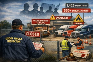
Truck driving schools: the government is further tightening controls
In 2026, they ordered the closure of more than 550 schools. Transportation companies face a scenario of labor shortages and increased scrutiny. The key requirements. Compliance saves lives… and also businesses.

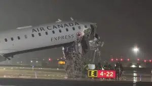
Air Canada crash highlights airport truck operations under scrutiny
An Air Canada Express aircraft collided with a fire truck during landing at LaGuardia Airport, bringing renewed attention to how heavy vehicles operate within highly controlled airport environments.

First day of spring: what is the equinox and how can we embrace it?
Today, the spring equinox serves as a reminder to bring balance and harmony into our lives. Here are some ideas on how to start this season off on the right foot.

Roads in U.S.: Special Report 2026 on Their Current State
New official reports and civil engineers warn of the need to improve roads and bridges. They highlight the hidden costs of freight transport and the urgent investment gap.

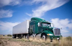
The most popular truck brands in the U.S.
If you ask different truck drivers what the perfect truck is, each one will likely have a different answer, for this reason, we present a list of the most popular truck brands in the U.S.

In brief: advances and challenges in the U.S. trucking automation and safety
Automation corridor, Tesla under probe, and speed limiter rules, are the latest updates in the transportation industry.

